|
|
|
Cirrostratus Clouds (Cs) |
|
| Cirrostratus | |
| Overview | |
Cirrostratus Clouds


.jpg)
.jpg)
.jpg)
.jpg)
.jpg)
.jpg)
.jpg)
.jpg)
.jpg)
.jpg)
|
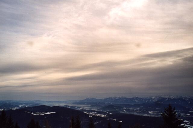
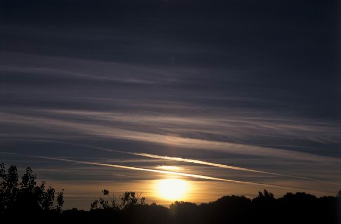
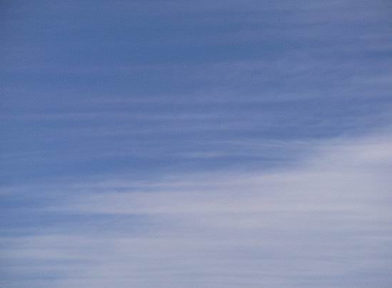
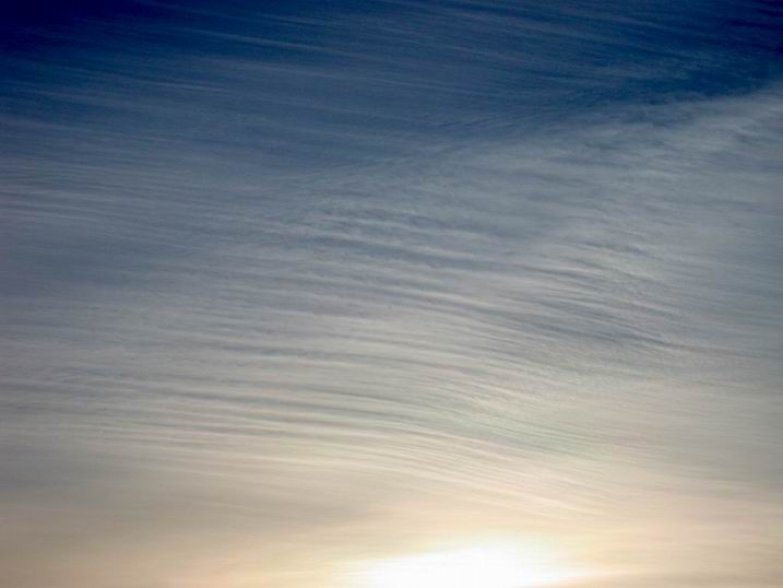
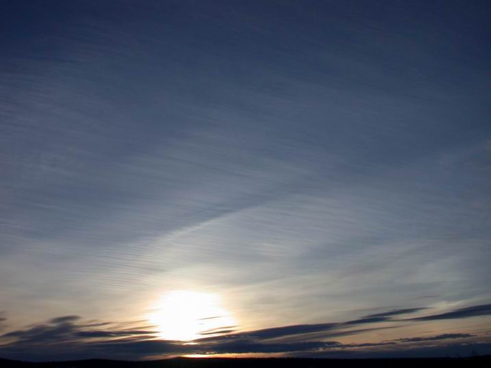
Cirrostratus.jpg: A Cirrostratus cloud layer coming from westerly directions in the evening is displayed here. Later it also trailed Altostratus clouds, yet without any precipitation. At the top left side dense Cirrus fibratus clouds already occur, in the centre of the image Cirrostratus fibratus and on the right side Altostratus are found. Cirrostratus2.jpg: A Cirrosstratus layer which seems to consist
of broad, merged contrails at first. But at the horizon one recognizes
that it is a wide-spread Cirrostratus layer - most probably of natural
origin. |
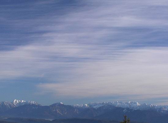
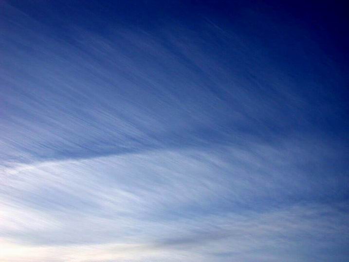
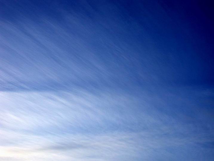
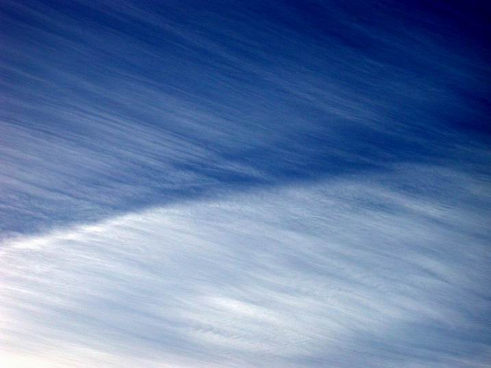
Cirrostratus3-6.jpg: An upcoming Cirrostratus cover can be seen here. Except Cirrostratus5.jpg the images were taken using a circular-polarizing filter. It can be clearly recognized how the filter improves the contrast. Twisting manually polarizer versus analyzer results in the improvement of the contrast of the clouds. Also look at chapter Skylight polarization. Cirrostratus7-14.jpg: During the APE-ENVISAT validation campaign a measurement flight was performed with the high-altitude research aircraft "Geophysica" on 3 August 2003. Right after departure at 7.30 a.m. this Cirrostratus layer was passed. The measurements show that wind velocities of 40 m/s occurred within this layer at the altitude of the tropopause (at 12 km). At the tropopause and within the cloud layer the temperature was 205 K = - 68 deg C. The number density of the ice particles with a diameter between 0.4 µm and 30 µm was 2 /cm3 of air. The observer on the ground saw that the clouds moved very fast over the sky without changing their visible structure. Also at the landing of the "Geophysica" - after four hours - high wind velocities occurred, because the contrail of the aircraft moved over ¼ of the sky within 1 minute. |
CsTropics1-10.jpg: The sky above the tropics - the so-called "maritime continent" - shows often clouds of totally different kinds. The images of the Cirrostratus clouds which can reach altitudes up to 16 km were taken shortly after sunset.
|
![]()